- Sections :
- Crime & Public Safety
- Restaurants & Food
- Sports
- More
MONTGOMERY COUNTY, TX -- July 7, 2024 at 4:40:47 PM CDT
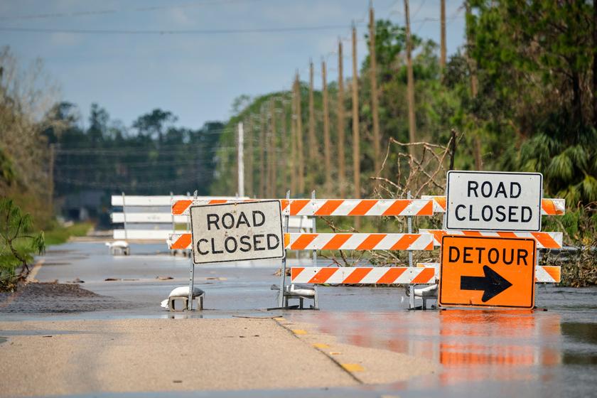
* WHAT...Flooding caused by excessive rainfall continues to be possible. * WHERE...Portions of south central and southeast Texas, including the following areas, in south central Texas, Coastal Jackson and Inland Jackson. In southeast Texas, Austin, Bolivar Peninsula, Brazoria Islands, Brazos, Burleson, Chambers, Coastal Brazoria, Coastal Galveston, Coastal Harris, Coastal Matagorda, Colorado, Fort Bend, Galveston Island, Grimes, Houston, Inland Brazoria, Inland Galveston, Inland Harris, Inland Matagorda, Madison, Matagorda Islands, Montgomery, Northern Liberty, Polk, San Jacinto, Southern Liberty, Trinity, Walker, Waller, Washington and Wharton. * WHEN...From 1 AM CDT Monday through Tuesday morning. * IMPACTS...Excessive runoff may result in flooding of rivers, creeks, streams, and other low-lying and flood-prone locations. Creeks and streams may rise out of their banks. Flooding may occur in poor drainage and urban areas. * ADDITIONAL DETAILS... - Heavy rain associated with Tropical Storm Beryl is expected to pose a flash flooding threat for Southeast TX. 4 to 10 inches of total rainfall, with some locally higher amounts possible, are expected. This may result in street flooding, as well as rises along area rivers, creeks, streams, and bayous. - http://www.weather.gov/safety/flood
A Tropical Storm Warning has been issued for Montgomery County.
Peak wind forecast: 45-60 mph wit gust to 85mph
Window for Tropical Storm force winds: Early Monday Morning through Monday afternoon.
THREAT TO LIFE AND PROPERTY is possible. complete Preparations TODAY!
Significant impacts expected.
* Some damage to roofing and siding materials, along with damage to porches, awnings, carports and sheds. Mobile homes damaged especially if unanchored.
*secure outdoor items and lightweight objects so they don't become projectiles.
*Large trees can become uprooted or snap.
Starting tomorrow please avoid being on the roadways and stay home if at all possible.
* WHAT...Flooding caused by excessive rainfall continues to be possible. * WHERE...Portions of south central and southeast Texas, including the following areas, in south central Texas, Coastal Jackson and Inland Jackson. In southeast Texas, Austin, Brazoria Islands, Brazos, Burleson, Coastal Brazoria, Coastal Galveston, Coastal Harris, Coastal Matagorda, Colorado, Fort Bend, Galveston Island, Grimes, Inland Brazoria, Inland Galveston, Inland Harris, Inland Matagorda, Madison, Matagorda Islands, Montgomery, Walker, Waller, Washington and Wharton. * WHEN...From late tonight through Tuesday morning. * IMPACTS...Excessive runoff may result in flooding of rivers, creeks, streams, and other low-lying and flood-prone locations. Creeks and streams may rise out of their banks. Flooding may occur in poor drainage and urban areas. * ADDITIONAL DETAILS... - Heavy rain associated with Tropical Storm Beryl is expected to pose a flash flooding threat for portions of SE TX. 5-10 inches of rainfall, with some locally higher amounts possible, are expected across portions of the area. This may result in street flooding, as well as rises along area rivers, creeks, streams, and bayous. - http://www.weather.gov/safety/flood