- Categories :
- More
Winter Precipitation Alert: Potential Snow and Ice in Southeast Texas Next Week
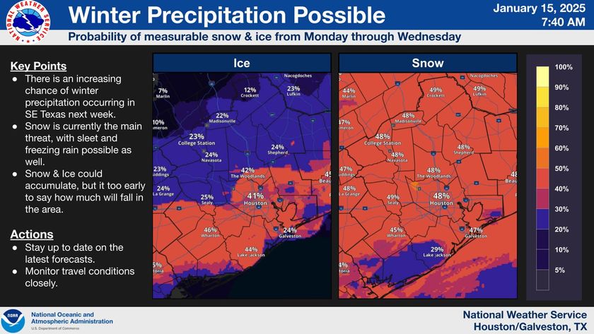
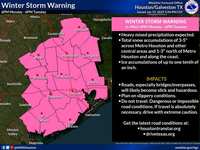
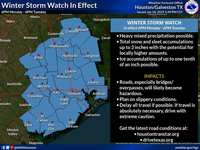
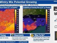
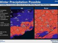
Winter weather may soon make a rare appearance in Southeast Texas. Forecasts indicate an increasing chance of measurable snow and ice from Monday through Wednesday, bringing a wintry mix of conditions to the region. Here's what you need to know:
Key Points to Keep in Mind:
-
Increasing Likelihood of Winter Precipitation:
-
Confidence is growing among meteorologists that Southeast Texas could experience winter weather early next week.
-
Snow is currently considered the primary threat, with sleet and freezing rain also possible in some areas.
-
-
Potential for Accumulation:
-
While it is too early to determine exact amounts, snow and ice accumulation cannot be ruled out.
-
Any accumulation could lead to hazardous road conditions, particularly on bridges, overpasses, and untreated surfaces.
-
-
Impact on Travel:
-
Travel disruptions may occur, especially during peak commute times.
-
Those planning to be on the road should monitor updates closely and prepare for potential delays.
-
-
Stay Informed:
-
This forecast is still evolving, and new details will emerge as the National Weather Service refines its predictions.
-
Regularly check local weather updates to stay ahead of changes in the forecast.
-
How to Prepare:
-
Monitor Weather Reports: Stay updated through reliable sources, including the National Weather Service and local news outlets.
-
Plan Ahead: If travel is necessary, allow extra time and consider alternative routes.
-
Stock Up on Essentials: Ensure you have food, water, and emergency supplies, particularly if power outages become a possibility.
-
Protect Your Home: Insulate exposed pipes and bring outdoor plants and pets indoors.
Winter precipitation in this region is uncommon, so it's important to remain vigilant and proactive. The exact nature and impact of the snow and ice will become clearer in the coming days. Stay safe, and keep an eye out for more updates as they become available.


